


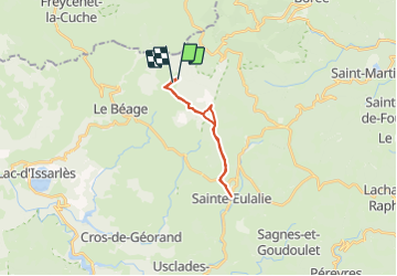

8,6 km | 11,9 km-effort


Benutzer


Kostenlosegpshiking-Anwendung
 SityTrail
IGN / Geografische Institute
SityTrail World
Die Welt öffnet sich für Sie
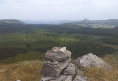
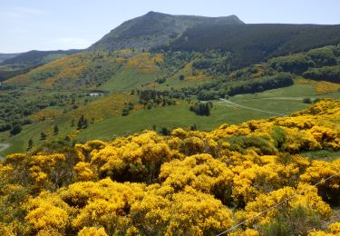
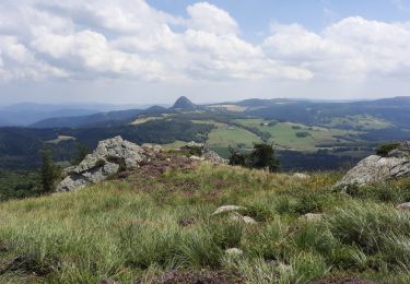
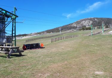
Tour Andere Aktivitäten von 17,3 km verfügbar auf Auvergne-Rhone-Alpen, Ardèche, Le Béage. Diese Tour wird von fsald vorgeschlagen.
Ballade entre Valories et St Eulalie en passant par le Fenadou résidence secondaire de Flo et jean Louis. Petites pause chez Violettes à St Eulalie.
La glace et Violettes sont délicieuses
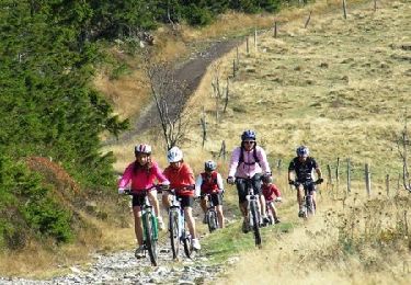
Mountainbike
Mountainbike
Wandern
Wandern
Wandern
Wandern
Wandern

Wandern
Wandern